GTA 6 Map and Leonida: Every Confirmed Location, the Evidence and What Remains Unknown
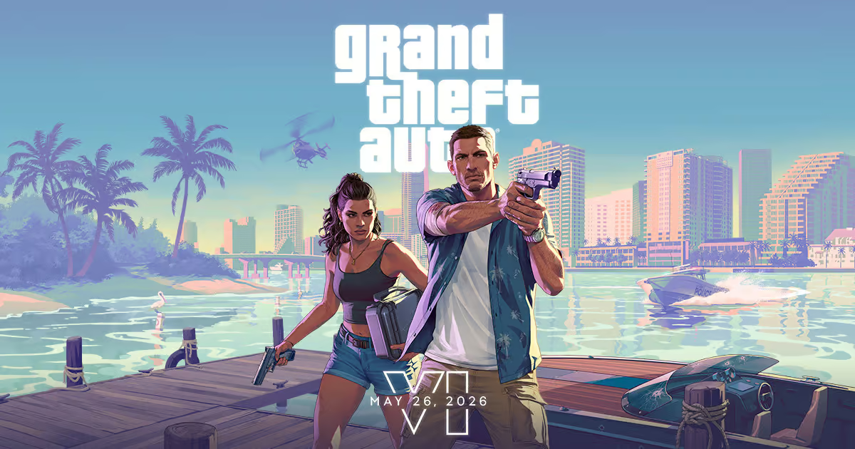
Grand Theft Auto VI is set in the fictional state of Leonida, with Vice City at the centre of a wider world that Rockstar has divided into six named regions: Vice City, Leonida Keys, Grassrivers, Port Gellhorn, Ambrosia and Mount Kalaga National Park. Official footage and screenshots establish those places and their broad identities. Rockstar has not published the complete in-game map, its area, every settlement or a verified comparison with Grand Theft Auto V.

The short answer: six regions are official, the full map is not
The strongest public evidence is Rockstar's own GTA VI site. Its location navigation names Vice City, Leonida Keys, Grassrivers, Port Gellhorn, Ambrosia and Mount Kalaga. Those are not labels reverse-engineered from a blurry road sign: they are first-party names attached to official descriptions and image sets. The broader state name, Leonida, also appears in Rockstar's story synopsis, which says Jason and Lucia become caught in a conspiracy stretching across the state.
That evidence confirms a varied statewide setting. It does not confirm the outline displayed by any community map, a square-mile total, the exact distance between regions or that these six headings are the only explorable areas. A promotional location index can group many neighbourhoods under one banner and omit discoveries Rockstar wants players to make. Until the publisher exposes the in-game map or provides dimensions, precise borders remain unknown.
This distinction is the foundation of the guide. Named places and directly depicted environments are confirmed. Descriptions supplied by Rockstar are the publisher's claims about those places. Geographic relationships inferred from skylines, roads and repeated landmarks are analysis. Coordinates built from perspective matching are estimates. Material attributed to private builds or unauthorised files remains leak reporting, not confirmation.
Confirmed by Rockstar: Vice City and five wider Leonida regions
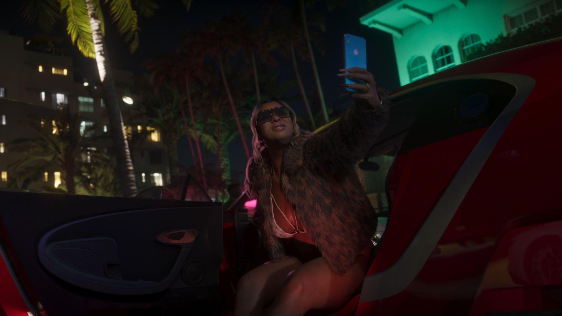
Vice City is the urban anchor and the only returning name among the six principal regions. Official material shows a contemporary coastal metropolis with dense high-rises, beaches, nightlife, port and industrial spaces, waterways, islands and long road links. Rockstar's images support the presence of multiple distinct urban environments; they do not prove that every visible tower or interior is accessible. The city's resemblance to Miami is part of the series' fiction and visual satire, not a promise of a one-to-one recreation.
The Leonida Keys form a tropical island chain. Rockstar's screenshot set shows low islands, causeways, boats, clear water and a seaplane, while its location copy frames the Keys as beautiful and dangerous waters. The material confirms an archipelago-style environment and travel across water. It does not establish the number of islands, whether all distant land is reachable or how long the road from Vice City takes under normal play.
Grassrivers is Leonida's wetland region: mangroves, shallow waterways, airboats and alligators are part of the official visual record. Port Gellhorn is presented as a worn coastal town of faded attractions, inexpensive commerce and roadside life. Ambrosia is an inland industrial community dominated in Rockstar's description by a sugar refinery and a local biker presence. Mount Kalaga National Park occupies the state's northern fringe and is associated with hunting, fishing, off-road trails and backwoods settlements. Together, these profiles demonstrate biome and social contrast; they are not a published itinerary or measurement of content density.

What official footage can tell us about geography
Trailers are useful geographic evidence when the same landmark appears from more than one angle. A recognisable skyline behind a causeway can support a relative direction; a road sign can establish that two names exist in the fiction; a continuous driving shot can show that two nearby spaces connect. Rockstar's stills are especially valuable because the files are grouped by named subject. GTA 6 Watch can therefore attribute the archipelago image above to the Leonida Keys without inventing its location from scenery alone.
The limits are equally important. Lens choice changes apparent distance, establishing shots may be composed from cameras unavailable to the player, and a trailer edit can place unrelated shots next to one another. A skyline on the horizon does not provide a reliable scale unless the camera position, field of view and landmark dimensions are known. Even continuous footage proves only the route being shown, not the final invisible boundary around it.
Rockstar says Trailer 2 combined gameplay and cutscenes and was captured in-game on PS5; it describes the Extended Look as in-game footage captured on PS5. That provenance makes both valuable evidence of the represented world. It does not transform them into survey data. A cutscene can use the shipping environment while controlling camera position, time of day, traffic and framing. The responsible map reading records visible connections and postpones numerical certainty.
Reported: what reputable coverage added after Trailer 2
GamesRadar+'s May 6, 2025 location report worked from Rockstar's newly released press material. It relayed the official descriptions of the Keys, Grassrivers, Port Gellhorn, Ambrosia and Mount Kalaga, including the industrial role of Ambrosia's Allied Crystal refinery and Mount Kalaga's position against Leonida's northern border. Those details are attributable to the press kit quoted by the outlet; where the same wording is visible in Rockstar's current catalogue, the first-party page remains the stronger reference.
IGN reported on May 8 that the volunteer GTA VI Mapping Project had gone into 'information overload' after Trailer 2 and the accompanying screenshots. That reporting is useful for understanding method and community effort: contributors compare landmarks, roads, signs, horizons and camera angles, then revise a shared model as evidence changes. It is not independent proof that a plotted road, coordinate or coastline exists in the retail game.
Reports that quote a community map's area or compare its footprint with Los Santos describe the output of that model, not a Rockstar measurement. The number can change when contributors move a camera estimate, reject leaked material or learn that two apparently separate landmarks are the same object. For that reason, this feature does not promote a current fan-map area as the 'confirmed size' of GTA VI.
Analysis: what the six-region design suggests
Rockstar's choice of six contrasting location profiles suggests that travel between social and environmental extremes is central to Leonida's identity. Vice City supplies wealth, nightlife and dense metropolitan spectacle. The Keys and Grassrivers foreground water and wildlife. Port Gellhorn and Ambrosia move the story toward economically strained coastal and industrial communities. Mount Kalaga adds elevation, wilderness and distance from the city. This is a reading of the marketing structure, not a claim about mission order.
Water appears to be connective tissue rather than scenery at the edge of the map. Official shots repeatedly feature marinas, bridges, causeways, boats, aircraft over the Keys and shallow wetland travel. It is reasonable to expect navigation on and around water to matter. The evidence does not establish a seamless underwater map, a particular diving depth, ocean simulation boundaries or that every vessel shown can be owned or controlled.
The contrast also warns against measuring value by land area alone. A smaller dense urban block can contain more authored activity than a large wetland, while an open national park may be designed for speed, hunting or encounters rather than doors and shops. Until reviewers can inspect the finished game, route time, accessible interiors, mission distribution and systemic density are better questions than a single square-mile headline.

How fan maps work — and why their scale remains provisional
A careful fan reconstruction is a hypothesis with an audit trail. Contributors identify fixed-looking points such as towers, bridges, highway junctions and signs; estimate camera positions; align sightlines; and test whether different images can coexist in one coordinate system. Repetition across independent official shots raises confidence. A label seen only in alleged leaked footage should remain separated from the clean, public-footage layer.
Perspective creates the largest trap. A wide-angle image can make nearby objects appear much farther apart, while a telephoto view compresses distance. Unknown focal length, cropped video and moving cameras add error. Real-world Miami and Florida geography can suggest Rockstar's inspirations, but designers routinely compress roads, rotate districts and combine references. Tracing Florida's coastline and placing fictional screenshots on top of it is illustration, not verification.
Community maps remain valuable when read as living research. They let readers understand why a proposed layout exists and which sections rest on multiple sightings. Their weakness comes when a version number, polished graphic or precise coordinate is stripped of its confidence labels and reposted as a leak or official reveal. The map can be impressively reasoned and still be wrong at its edges, scale or vertical structure.
Rumor, leak and unknown: size claims, extra cities and evolving worlds
Rockstar has not supplied an official square-mile or square-kilometre figure, nor a percentage comparison with GTA V or Red Dead Redemption 2. Claims that the map is 'twice as large', that Vice City alone has a specified multiple of Los Santos's populated area, or that a leaked outline is '100% real' should remain reported claims unless Rockstar publishes measurements or the retail game can be tested consistently.
The six profile names do not confirm every city, county, island or neighbourhood. Signs and fictional brands in footage may name small locations; some could be background world-building, some could be districts inside the six categories, and others may be reachable. Conversely, Rockstar can withhold entire locations from marketing. Lists that add settlements from the 2022 unauthorised footage or later alleged leaks need an explicit Leak label and cannot be merged into the confirmed list.
Post-launch expansion is also unknown. Take-Two and Rockstar have not used the public map material cited here to promise that the single-player world will grow over time, to define a separate online map, or to explain access boundaries at launch. Past support for GTA Online makes future change plausible as analysis, but it does not confirm an evolving Leonida, additional islands or a second city.
What would settle the remaining map questions
The clearest evidence would be Rockstar publishing the in-game map, a labelled official atlas or an unedited interface demonstration. A retail or review build could then establish route distances, boundaries and accessible terrain. Even then, comparisons require a declared method: bounding-box area, traversable land, water, vertical floors and travel time answer different questions and should not be collapsed into one number.
Until that evidence exists, readers can use a simple hierarchy. Trust Rockstar for the names it publishes and the environments it directly shows. Attribute press-preview observations to the participant and state the conditions of access. Treat landmark matching as analysis, fan coordinates as estimates, and private-build claims as leaks or rumours. A later correction should preserve the older reconstruction as part of the record rather than pretending uncertainty never existed.
The durable conclusion is substantial but limited: GTA VI extends beyond Vice City into a state with tropical islands, wetlands, a faded coastal town, an industrial interior and a northern national park. That is enough to establish Rockstar's broad geographic ambition. The exact outline, scale, density and full settlement list remain open questions.
How Rockstar revealed Leonida
Trailer 1 names Leonida and returns to Vice City
Rockstar's first trailer established the state name through on-screen material and showed Vice City, beaches, causeways, wetlands and social-video fragments. It did not publish a map or define the playable boundary.
Trailer 2 and the official site identify six regions
Rockstar expanded its GTA VI site with profiles for Vice City, Leonida Keys, Grassrivers, Port Gellhorn, Ambrosia and Mount Kalaga National Park, accompanied by official screenshots and descriptive copy.
Fan mapping accelerates after the second trailer
IGN reported on the community mapping project and the new volume of material available for triangulation. The report documents the reconstruction effort; it does not turn its coordinates or coastline into Rockstar specifications.
The Extended Look supplies more geographic evidence
Rockstar's longer PS5-captured presentation showed more travel, waterways, roads, built environments and countryside. It broadened the visual record without releasing the pause-menu map or a scale figure.
Current public position
Rockstar's official GTA VI navigation still names the same six principal places. No complete, dimensioned official map was located in the first-party catalogue reviewed for this feature.
Continue reading
Related GTA 6 coverage
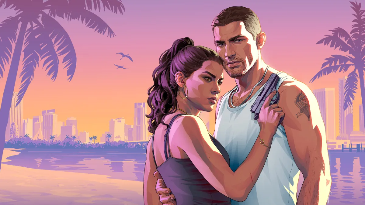
Game Informer reveals GTA 6 cover story with 12 new screenshots and Rockstar interviews
Game Informer · 2026-09-25
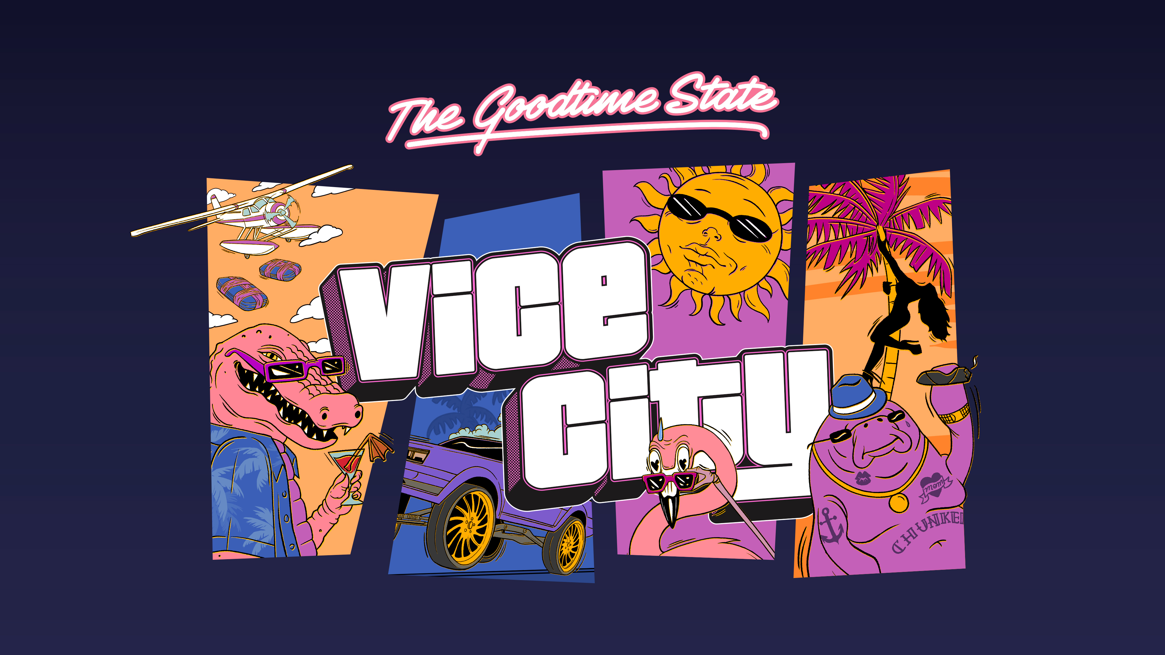
GTA 6 map leak: Rockstar removed four Leonida labels from a collection image
Rockstar Store · 2026-09-24
Rockstar confirms GTA 6’s $399.99 Vice City Collection — 11 collectibles, but no game
Rockstar Games Newswire · 2026-09-24
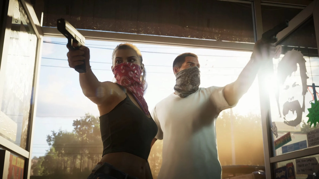
GTA 6’s ‘Welcome to Vice City’ sign is now installed on Miami’s Kaseya Center
WPLG Local 10 · 2026-09-18
Stephen Root confirms GTA 6 role; Brian Heder identification reported
Associated Press · 2026-09-14
GTA 6 collector’s edition rumor now looks more like a press kit — what the new photos show
GTA BOOM · 2026-09-09